Area 278.5 km² | Time zone BST (UTC+6) | |
 | ||
Website Official Map of Panchbibi | ||
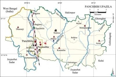
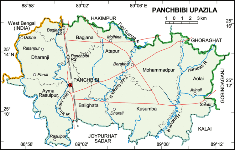
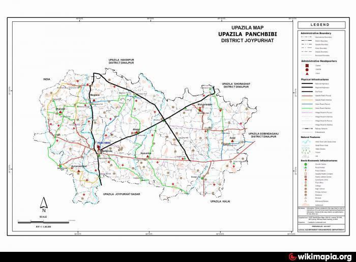
Panchbibi (Bengali: পাঁচবিবি) is an Upazila of Joypurhat District in the Division of Rajshahi, Bangladesh. It is bounded by Hakimpur and Ghoraghat upazilas and West Bengal of India on the north, Joypurhat Sadar upazila on the south, Gobindaganj and Kalai upazilas on the east, Joypurhat Sadar upazila and West Bengal of India on the west.
Contents
Geography
Panchbibi is located at 25.1958°N 89.0208°E / 25.1958; 89.0208 . It has 38,555 household units and a total area of 278.53 km².
Demographics
As of the 1991 Bangladesh census, Panchbibi has a population of 193,365. Males constitute 51.06% of the population, and females 48.94%. This Upazila's population of people aged eighteen and higher is 99,108. Panchbibi has an average literacy rate of 30.6% (7+ years), against the national average of 32.4% literate.
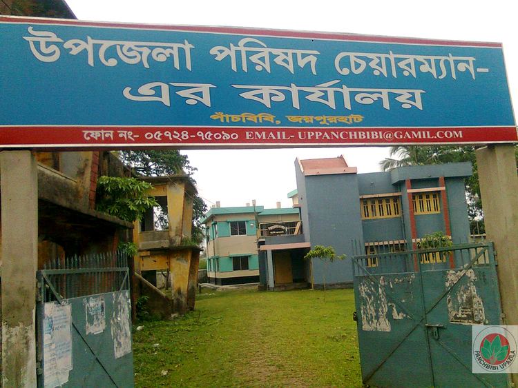
Administration
Panchbibi has 8 Unions/Wards, 222 Mauzas/Mahallas, and 257 villages.