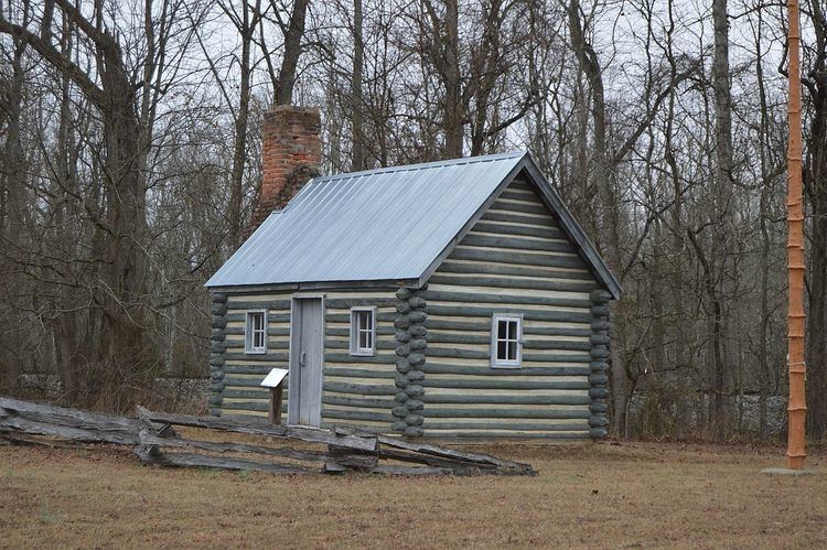
Country United States Time zone Eastern (EST) (UTC-5) Area 4.8 km² Population 80 (2012) | State Virginia Established 1658 ZIP code 23806 Elevation 3 m Added to NRHP 16 September 1982 | |
 | ||
The Pamunkey Indian Reservation is a Native American reservation located in King William, Virginia, United States. The reservation lies along the Pamunkey River in King William County, Virginia on the Middle Peninsula. The Pamunkey Reservation contains approximately 1,200 acres (4.8 km²) of land, 500 acres (2 km²) of which is wetlands with numerous creeks. Thirty-four families reside on the reservation and many Tribal members live in nearby Richmond, Newport News, and other parts of Virginia.
Contents
Map of Pamunkey Indian Reservation, West Point, VA 23086, USA
History
The reservation was confirmed to the Pamunkey tribe as early as 1658 by the Governor, the Council, and the General Assembly of Virginia. The treaty of 1677 between the King of England, acting through the Governor of Virginia, and several Native American tribes including the Pamunkey is the most important existing document describing Virginia's relationship towards Indian land. A burial mound, reported to contain the remains of Chief Powhatan, Father of Pocahontas (real name Matoaka), is also located on this Reservation next to railroad tracks. His brother Opechancanough relocated his remains here. He is also buried here.
