
Peak Pik Skalisty Length 900 km (560 mi) E/W | Elevation 5,621 m (18,442 ft) Width 400 km (250 mi) N/S | |
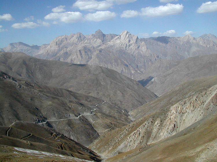 | ||
The Pamir-Alay (also Pamiro-Alai, Russian: Памиро-Алай) is a mountain system in Tajikistan, Kyrgyzstan and Uzbekistan, part of the Pamir Mountains. It stretches between the valleys of the rivers Syr Darya (Fergana Valley) to its north and Vakhsh to its south. Its highest summit is Pik Skalisty (Russian: пик Скалистый, "rocky peak"), 5621 m, in the Turkestan Range.
Main subranges
The Pamir-Alay is subdivided into the following mountain ranges:
References
Pamir-Alay Wikipedia(Text) CC BY-SA