
Width 1.25 km (0.777 mi) Area 175 ha Municipality Baclayon, Bohol | Length 1.6 km (0.99 mi) Coastline 4.50 km (2.796 mi) Population 1,418 (2015 census) Province Bohol | |
 | ||
Pamilacan island in bohol philippines travel
Pamilacan is an island in the Bohol Sea (also called Mindanao Sea), situated 12.5 kilometres (7.8 mi) south of Bohol island, Philippines. It is a barangay of the municipality of Baclayon. According to the 2015 census, it has a population of 1,418, comprising about 240 families whose main livelihoods now concentrate on dolphin- and whale-watching tours and subsistence fishing, but in the past also included whale, dolphin and manta ray hunting.
Contents
Map of Pamilacan Island, Baclayon, Philippines
Pamilacan perhaps means "resting place of the mantas", but it can also be considered to derive from the word pamilac, or harpoon, a device that was historically used to capture the mantas, dolphins and whales.
To the northeast of the island is a 200‑year‑old Spanish fort, which in the past served as a watchtower for the Spaniards to look out for intruders, such as pirates and other enemies, particularly those coming from the south.
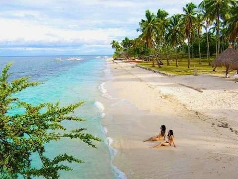
Aside from being famous for the whaleshark and dolphin-watching activities, the island is also known for its white sand beaches and renowned for its snorkelling and dive sites, such as Dakit-Dakit. Snake Island or Cervera Shoal is a sunken plateau about 18 metres (59 ft) deep, on the south of Pamilacan. It is covered with coral but lies in the middle of the ocean, which is why there usually is a very strong current. Here one can see black-white banded sea snakes, sea turtles, moray eels, nudibranchs and bucket sponges.