
Intercommunality Côte d'Albâtre Area 10.87 km² Local time Tuesday 5:45 PM | Region Normandy Canton Cany-Barville Time zone CET (UTC+1) Population 416 (1999) | |
 | ||
Weather 10°C, Wind W at 16 km/h, 54% Humidity | ||
Le directeur de la centrale nucl aire de paluel s enfuit face aux journalistes de france 3
Paluel is a commune in the Seine-Maritime department in the Haute-Normandie region in northern France.
Contents
- Le directeur de la centrale nucl aire de paluel s enfuit face aux journalistes de france 3
- Map of Paluel France
- Geography
- History
- Places of interest
- References
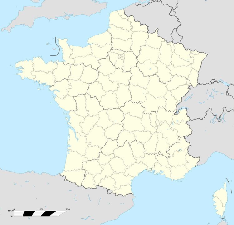
Map of Paluel, France
Geography
A village of farming and light industry situated by the banks of the river Durdent in the Pays de Caux at the junction of the D10, D68 and the D79 roads, some 20 miles (32 km) southwest of Dieppe.
History
The village owes its name to the marshes (in Latin "Palus"), in the lower valley of the Durdent.
A Roman mosaic was excavated in 1849 at a place known as the Rosy.
A church has existed here from 988, under the jurisdiction of the abbey at Fécamp.
The manor of Janville was given to the seigneurs of Paluel by Henri III in 1582.
There was a leper colony here until 1695.
The commune had 638 inhabitants in 1876.
The United States "Lucky Strike" army camp counted 300,000 inhabitants after the offensive against Germany during 1944/45.
In 1977, EDF, the French electricity company, built a nuclear power station, with 4 reactors of 1300MW each. It covers 200 hectares (490 acres) of land within the commune.