
Country India District Thiruvananthapuram Time zone IST (UTC+5:30) Local time Tuesday 8:47 PM | State Kerala Taluks Nedumangad PIN 695562 Government body Gram panchayat | |
 | ||
Weather 27°C, Wind NE at 10 km/h, 82% Humidity | ||
Palode is a village in Thiruvananthapuram district in the state of Kerala, India.
Contents
Map of Palode, Kerala
About Palode
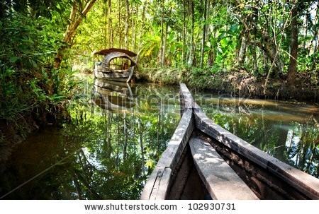
As of 2011 India census, Palode had a population of 14922 with 7005 males and 7917 females. Located 35 km from Thiruvananthapuram, on the way to Kuttalam, Palode is a small hamlet on the foothills of the Western Ghats. Covered by lush green forests and rubber plantations, Palode and its surroundings feast the eye. The Institute of Animal Health and Veterinary Biologicals and the Tropical Botanic Garden and Research Institute are situated here. The nearest airport is Trivandrum International Airport and the railway station is Thiruvananthapuram Central Railway Station. Palode can be reached by motorable roads from most parts of Kerala. Nearby tourist locations include Ponmudi, Thenmala, Peppara Waterfalls, Palode waterfalls, lower Meenmutti dam etc. Another major attraction which made it a part of ecotourism map is its Botanical gardens. ATMs, Petrol Pumps, shops, theatres Markets, Banks and Hotels help tourist interest.
Institutions
Iqbal Higher Secondary School Peringammala