
NRHP Reference # 87000473 Local time Tuesday 10:07 AM Added to NRHP 20 August 1987 | Area 79 ha Year built 1846 | |
 | ||
Weather 23°C, Wind W at 13 km/h, 62% Humidity | ||
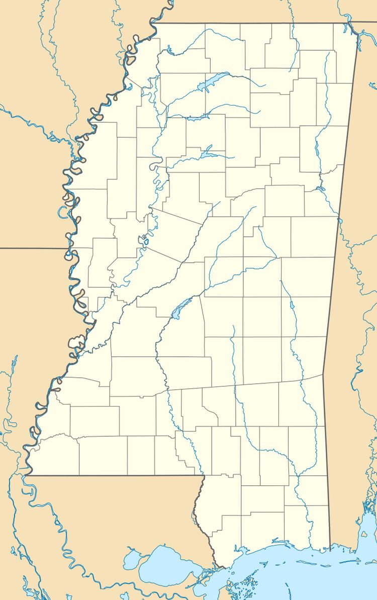
Palo Alto (also Savannah) is a ghost town in Clay County, Mississippi. Established c. 1846, it is located at 33°40′50″N 88°48′0″W (33.6806738, -88.8000525) at an elevation of 279 feet (85 m).
Map of Palo Alto, MS 39773, USA
In 1987, the townsite was listed on the National Register of Historic Places under the name of "Town of Palo Alto." Nearly 200 acres (81 ha) were listed on the Register as part of the community.
References
Palo Alto, Mississippi Wikipedia(Text) CC BY-SA