
Population 329 (2006 census) Postcode(s) 5237 Local time Wednesday 12:32 AM | Established 1860s Postal code 5237 | |
 | ||
Weather 19°C, Wind S at 18 km/h, 82% Humidity | ||
Palmer is a town just east of the Adelaide Hills region of South Australia along the Adelaide-Mannum Road, 70 kilometres east-north-east of the state capital, Adelaide and 15 km west-north-west of Mannum (34°51′S 139°9′E). It is located in the Mid Murray Council local government area. At the 2006 census, Palmer had a population of 329.
Contents
Map of Palmer SA 5237, Australia
The town was named after Colonel George Palmer, a South Australian Colonisation Commissioner. It was settled in the 1860s as a mining and agricultural settlement.
At the ABS 2001 census, Palmer had a population of 305 people living in 124 dwellings.
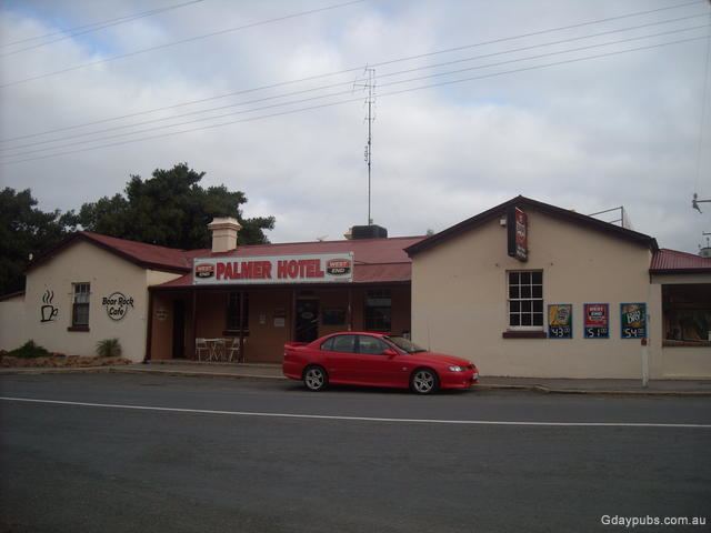
Palmer has a primary school, a general store, hotel and a Lutheran Church. There are some nearby rock formations.
Heritage listings
Palmer has a number of heritage-listed sites, including: