
Postcode(s) 4892 | Postal code 4892 | |
 | ||
Palmer is a locality in the Shire of Cook, Queensland, Australia.
Contents
Map of Palmer QLD 4892, Australia
Geography
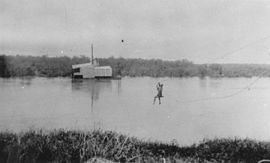
The Palmer River which flows through the locality from east to west. The Palmer River Goldfields Resource Reserve is the eastern part of the locality to the north of the river.
History
The locality takes its name from the Palmer River which flows through the locality from east to west and the Palmer goldfields around the river. The river was named on 5 August 1872 by William Hann after Arthur Hunter Palmer, then Premier of Queensland.
Heritage listings
Palmer has a number of heritage-listed sites, including:
Attractions
The Palmer River Goldfield Resource Reserve has old gold mines, rusting machinery, and some traces of the Maytown township for the visitor to explore.
References
Palmer, Queensland Wikipedia(Text) CC BY-SA