
Local time Tuesday 11:59 AM | ||
 | ||
Weather 23°C, Wind SE at 14 km/h, 80% Humidity | ||
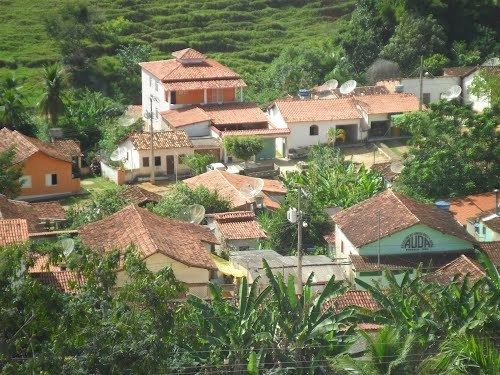
Palmópolis is a municipality in the northeast of the Brazilian state of Minas Gerais. Its population in 2007 was 7,041 inhabitants in a total area of 436 km².
Contents
Map of Palm%C3%B3polis - State of Minas Gerais, Brazil
Overview
Palmópolis belongs to the Almenara statistical microregion. The elevation of the municipal seat is 600 meters. It became a municipality in 1993. This municipality is located on the Braço River, 10 km. west of the state boundary with Espírito Santo.
The main economic activities are cattle raising, and subsistence farming. The GDP was R$20,127,000 (2005). There was 01 banking agency in 2006. There were 95 automobiles in 2007. The main crop was coffee. In the health sector there were 03 health clinics. The score on the Municipal Human Development Index was 0.615 (medium). This ranked Palmópolis 811 out of 853 municipalities in the state, with Poços de Caldas in first place with 0.841 and Setubinha in last place with 0.568. See Frigoletto for the complete list.