
Canton Marquion Local time Tuesday 1:27 PM | Area 2.77 km² | |
 | ||
Intercommunality Communauté de communes de Marquion Weather 9°C, Wind W at 23 km/h, 57% Humidity | ||
Palluel is a commune in the Pas-de-Calais department in the Hauts-de-France region of France.
Contents
Map of 62860 Palluel, France
Geography
Palluel is situated 19 miles (31 km) east of Arras, at the junction of the D21 and D13 roads, in the valley of the river Sensée.
History
The entire village was rebuilt after the ravages of World War I.
The commune was devastated by a tornado of category F5 on June 24, 1967. This tornado was one of the biggest ever recorded in France since at least 1850.
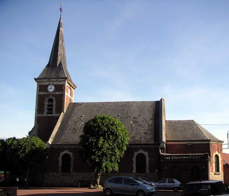
Places of interest
References
Palluel Wikipedia(Text) CC BY-SA