
Elevation 1,070 m | Local time Tuesday 3:16 PM | |
 | ||
Weather 31°C, Wind S at 8 km/h, 49% Humidity | ||
Annual conference crusade pallisa jinja uganda africa
Pallisa is a town in Pallisa District of the Eastern Region of Uganda.
Contents
- Annual conference crusade pallisa jinja uganda africa
- Map of Pallisa Uganda
- Good friday on 29th march 2013 at pallisa jinja uganda africa a whole night meeting
- Location
- Overview
- Population
- Points of interest
- References
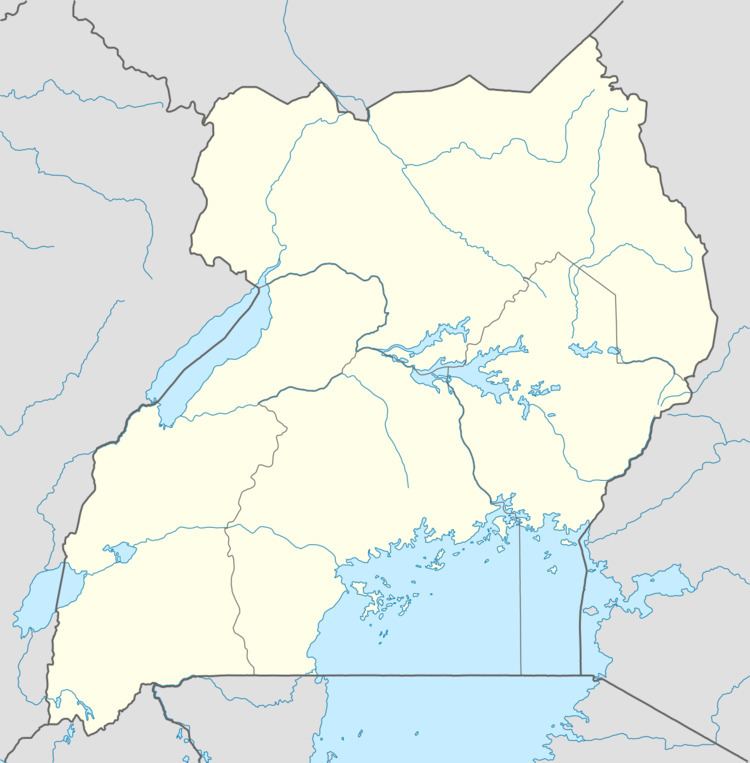
Map of Pallisa, Uganda
Good friday on 29th march 2013 at pallisa jinja uganda africa a whole night meeting
Location
Pallisa is approximately 65 kilometres (40 mi), by road, west of Mbale, the largest city in the sub-region. This is approximately 200 kilometres (120 mi), by road, northeast of Kampala, the capital of Uganda. The coordinates of the town are 1°10'03.0"N, 33°42'36.0"E (Latitude:1.1675; Longitude:33.7100).
Overview
The town of Pallisa is in a rural area with limited public transportation. One of the major activities include schooling, with the population of the town swelling to around 40,000 when school is in session. Children come from all around to go to one of the approximately twenty secondary schools in the area, where they live in huts, two to four students per hut, rented to them by villagers. The students fend entirely for themselves while going to school.
Population
The 2002 national census estimated the population of the town at 23,650. In 2010, the Uganda Bureau of Statistics (UBOS) estimated the population to be 31,200. In 2011, UBOS estimated the mid-year population at 32,300. In 2014, the national population census put the population at 32,681.
Points of interest
The following additional points of interest lie within the town limits or near its borders: