
PIN 631207 Elevation 154 m Local time Tuesday 5:44 PM | Time zone IST (UTC+5:30) Telephone code (91)44 - 2784 Population 8,650 (2014) | |
 | ||
Weather 34°C, Wind E at 13 km/h, 45% Humidity | ||
Pallipattu (Tamil:பள்ளிபட்டு) is a town in Tiruvallur district in the state of Tamil Nadu, India.
Contents
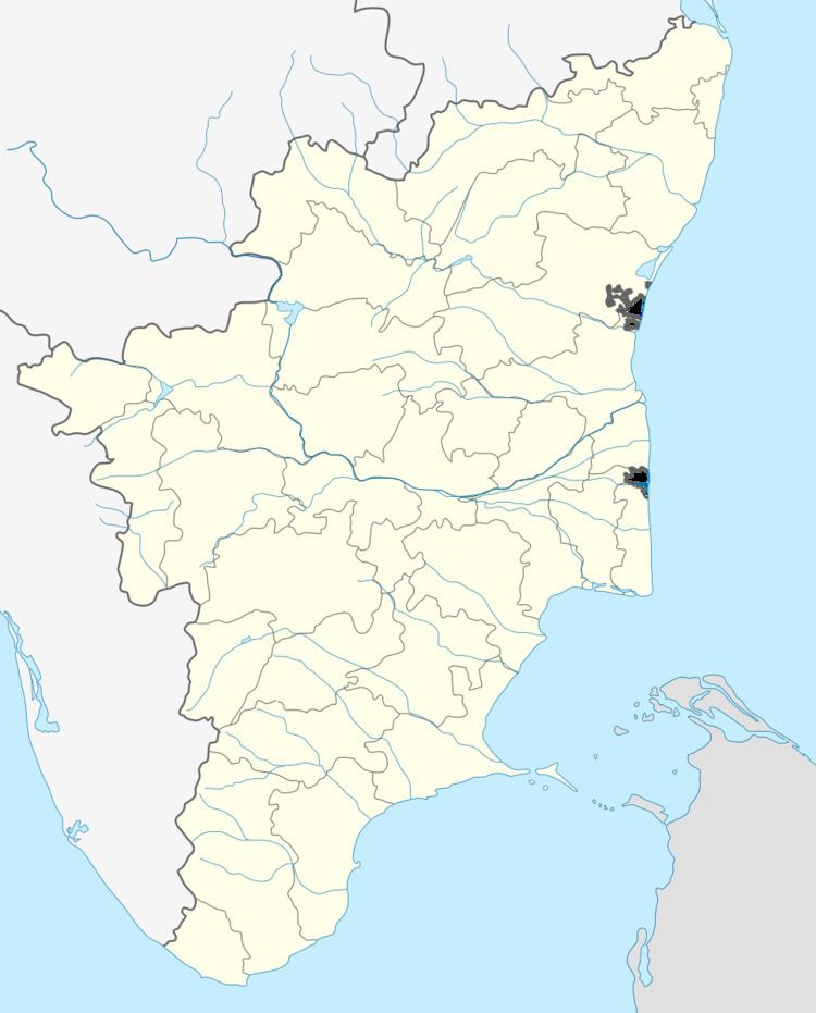
Map of Pallipattu, Tamil Nadu
Geography
Pallipat is located at 13.33°N 79.45°E / 13.33; 79.45. It has an average elevation of 154 metres (505 feet).
Demographics
As of 2001 India census, Pallipattu had a population of 8,650. Males constitute 50% of the population and females 50%. Pallipattu has an average literacy rate of 71%, higher than the national average of 59.5%: male literacy is 79%, and female literacy is 63%.
Schools
There are many schools in the town to provide education to people of Pallipat and surrounding villages. The medium of instruction in these schools are in Tamil, Telugu and English. The schools are :
Developments
There are many development projects coming up in this area like Government Arts college and Railway Station that connects chennai to Chittor.
Politics
Pallipattu is pat of Tiruttani (State Assembly Constituency) and Arakkonam (Lok Sabha constituency).
The Major Towns in this Conctituensy Includes
1.Podatturpet
2.R.K.Pet
3.Athimanjeripet.