
Time zone EET (UTC+2) Website www.palini.gr Local time Tuesday 2:08 PM | Elevation 150 m (490 ft) Postal code 153 xx Area 30.72 km² Area code 210 | |
 | ||
Weather 21°C, Wind E at 10 km/h, 41% Humidity | ||
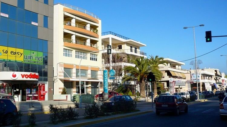
Pallini (Greek: Παλλήνη) is a suburban town in Greater Athens Area and a municipality in East Attica, Greece. The seat of the municipality is the town Gerakas. It is the seat of administration of the East Attica regional unit.
Contents
Map of Pallini, Greece
Geography
Pallini is situated in the eastern part of the Athens conurbation, at about 150 m elevation. It lies in a plain between the mountains Penteliko and Hymettus. It is 2 km east of Gerakas and 14 km east of Athens city centre. Its built-up area is continuous with those of the neighbouring suburbs Gerakas and Anthousa. Pallini station, west of the town centre, is served by commuter trains and Athens metro. Greek National Road 54 (Athens - Rafina) passes through Pallini. The municipal unit Pallini includes the subdivision of Leontari.
Municipality
The municipality Pallini was formed at the 2011 local government reform by the merger of the following 3 former municipalities, that became municipal units:
The municipality has an area of 29.430 km2, the municipal unit 18.932 km2.