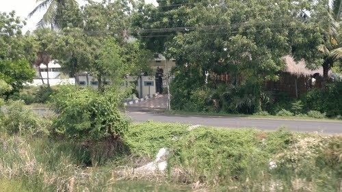
Pallevada is a village in Kaikaluru mandal of Krishna district, Andhra Pradesh, India.
Map of Pallevada, Andhra Pradesh 521340
Pallevada is located at 16.5833°N 81.3000°E / 16.5833; 81.3000. It has an average elevation of 20 metres (68 ft).
According to Indian census, 2001, the demographic details of Pallevada village is as follows:
Total Population: 2,955 in 726 HouseholdsMale Population: 1,499 and Female Population: 1,456Children Under 6-years of age: 358 (Boys - 187 and Girls - 171)Total Literates: 1,639Pallevada is located near Kolleru lake.There is a Railway station at Pallevada between Bhimavaram and Gudiwada. It comes under South Central Railway zone.It is the rural village having scenic beauty with lot of greenery. From the last two decades, much of agriculture has been replaced by Aquaculture. People adopted fish and prawn cultivation as the main source of income. Even-though the village is crossed by Railway line and National Highway NH214, it stays quite pleasant and peaceful. It is said by elderly people in the village, it is the most protected village compared to the neighboring villages as it is not affected by any natural calamities like floods, earthquakes etc., from the last three centuries.Even-though the village is facing drinking water problem from the last 10 years