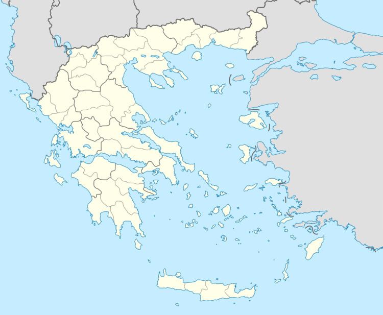
Country Greece Lowest elevation 495 m (1,624 ft) Postal code 600 65 Municipality Dio-Olympos Municipal unit East Olympos | Highest elevation 565 m (1,854 ft) Time zone EET (UTC+2) Area code(s) +30-2352-xxx-xxx Administrative region Central Macedonia Regional unit Pieria | |
 | ||
Palioi Poroi (Greek: Παλιοί Πόροι) is a village of the Dio-Olympos municipality. Before the 2011 local government reform it was part of the municipality of East Olympos, of which it was a municipal district. The settlement of Neoi Poroi had a population of 23 inhabitants as of 2011. Palioi Poroi is a part of the community of Poroi.
Contents
Map of Palioi Poroi 600 63, Greece
Economy
The economy of the village is primarily agriculture, mainly producing sugar, beets, corn, and cereal crops. Other products include cotton and livestock.
Religious Sites
Palioi Poroi contains numerous religious sites with in the community.These include the notable chapels of St. Nicholas and St. Demetrios.
References
Palioi Poroi Wikipedia(Text) CC BY-SA
