
Country Thailand Time zone THA (UTC+7) Geocode 9204 Province Trang Province | Seat Tha Kham Postal code 92120 Area 973.1 km² | |
 | ||
Points of interest Ton Tae Waterfall, Koh Lao Liang, Lam Plok Waterfall, Ton Tok Waterfall, Phan Waterfall | ||
108 109 hainanese shrine palian district trang
Palian (Thai: ปะเหลียน) is a district (Amphoe) in the southern part of Trang Province, Thailand.
Contents
- 108 109 hainanese shrine palian district trang
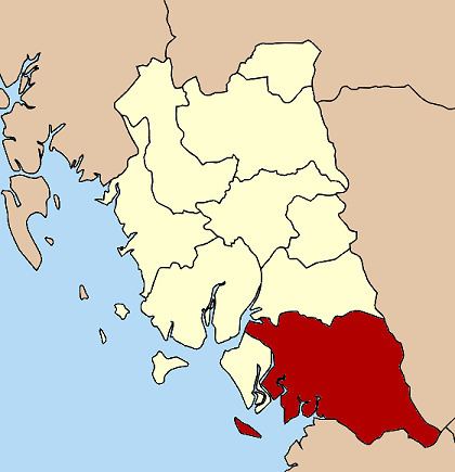
- Map of Palian District Trang Thailand
- old sword palian district trang
- Geography
- History
- Administration
- References
Map of Palian District, Trang, Thailand
old sword palian district trang
Geography
Neighboring districts are (from the east clockwise) Kong Ra, Tamot and Pa Bon of Phatthalung Province, Khuan Kalong, Manang and Thung Wa of Satun Province, Hat Samran and Yan Ta Khao of Trang Province.
History
Originally named Yong Sata (หยงสตา), it was renamed to Palian in 1939.
Administration
The district is subdivided into 10 subdistricts (tambon), which are further subdivided into 85 villages (muban). Tha Kham is a township (thesaban tambon) which covers parts of tambon Tha Kham. There are further 10 Tambon administrative organizations (TAO).
Missing numbers are tambon which now form Hat Samran district.
References
Palian District Wikipedia(Text) CC BY-SA