
Vehicle registration MP Population 120,868 (2014) ISO 3166 code ISO 3166-2:IN | Time zone IST (UTC+5:30) Elevation 450 m Local time Tuesday 3:39 PM | |
 | ||
Weather 33°C, Wind NW at 8 km/h, 17% Humidity Neighborhoods Mpseb Colony, Ward - 11, Prakash Nagar, Officers Colony, MPPGCL Colony | ||
Pali is a town and a nagar palika in Umaria district in the Indian state of Madhya Pradesh.
Contents
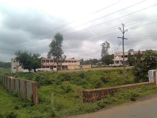
Map of Pali Birsinghpur, Madhya Pradesh
Geography
Pali is located at 23.35°N 81.05°E / 23.35; 81.05. It has an average elevation of 450 metres (1476 feet).
Demographics
As of 2001 India census, Pali had a population of 150,868. Males constitute 52% of the population and females 48%. Pali has an average literacy rate of 60%, higher than the national average of 59.5%: male literacy is 70%, and female literacy is 50%. In Pali, 16% of the population is under 6 years of age. pali sub area comes under johila area of secl
References
Pali, Umaria Wikipedia(Text) CC BY-SA