
Area 190.7 km² | Time zone BST (UTC+6) | |
 | ||
Website Official Map of Palashbari | ||
Palashbari (Bengali: পলাশবাড়ী) is an Upazila of Gaibandha District in the Division of Rangpur Division, Bangladesh.
Contents
Geography
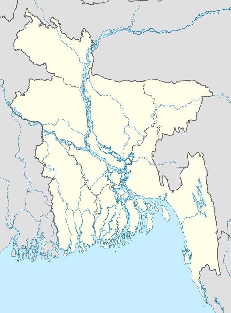
Palashbari is located at 25.2833°N 89.3500°E / 25.2833; 89.3500 . It has 41586 households and total area 190.67 km².
Demographics
As of the 1991 Bangladesh census, Palashbari has a population of 210806. Males constitute 50.54% of the population, and females 49.46%. This Upazila's eighteen up population is 102892. Palashbari has an average literacy rate of 26.4% (7+ years), and the national average of 32.4% literate.
Administration
Name of Upazila Chairman Nozrul Islam(2012). Palashbari has 9 Unions/Wards, 161 Mauzas/Mahallas, and 160 villages.
Education
According to Banglapedia, Palashbari S.M. Pilot High School, founded in 1911, is a notable secondary school.
References
Palashbari Upazila Wikipedia(Text) CC BY-SA