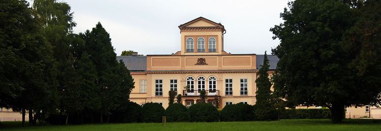
Area 51.3 km² | ||
 | ||
18 8 2012 10 00 airsoft zone sk pal rikovo nov z mky nitra galanta
Palárikovo (Hungarian: Tótmegyer) is a large village and municipality in the Nové Zámky District in the Nitra Region of south-west Slovakia.
Contents
- 18 8 2012 10 00 airsoft zone sk pal rikovo nov z mky nitra galanta
- Map of PalC3A1rikovo Slovakia
- Names and etymology
- History
- Geography
- Ethnicity
- Facilities
- References
Map of Pal%C3%A1rikovo, Slovakia
Names and etymology
The village is named after a Slovak playwright Ján Palárik. The historic Slovak name Slovenský Meder was semantically the same as the Hungarian name Tótmegyer. Slovenský/Tót — Slovak, Meder/Megyer - the old Magyar tribe whose members lived in the region as garrison units.
History
In historical records the village was first mentioned in 1248.
Geography
The municipality lies at an altitude of 113 metres and covers an area of 51.294 km². It has a population of about 4410 people.
Ethnicity
The population is about 97% Slovak, 2% Hungarian and 1% Czech.
Facilities
The village has a small public library, a DVD rental store and cinema. It also has a gym and a football pitch.
