Country New Zealand | Local time Tuesday 10:37 AM | |
 | ||
Weather 18°C, Wind SW at 14 km/h, 78% Humidity | ||
Pakaraka is a settlement in Northland, New Zealand that is located at the junction of State Highway 1 and 10 in the district the Ngāpuhi called Tai-a-mai.
Contents
Map of Pakaraka 0472, New Zealand
A pā, was located at the base of, and on the slopes of, Pouerua, a 270 metres (890 ft) high basaltic scoria cone. The pā was studied during a major archeological project in the 1980s.
Parts of the Flagstaff War were fought around Pakaraka in 1845. After the Battle of Ohaeawai on 23 June 1845 the British troops destroyed Te Haratua's pā at Pakaraka on 16 July 1845.
Notable people
Historic places
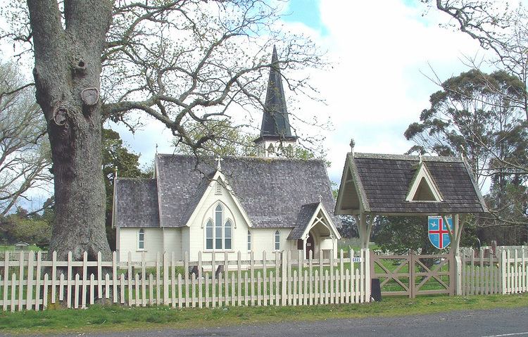
Mount Pouerua is registered with the Historic Places Trust as a traditional site (Registration Number 6711). Also listed by the Historic Places Trust are: Holy Trinity Church (Registration Number 65); The Retreat (Registration Number 70); and the Store (Registration Number 419).
Education
Pakaraka School is a coeducational full primary (years 1-8) school with a decile rating of 2 and a roll of 57. 92% of the students are Māori.
