
Time zone ICT (UTC+7) Geocode 3021 Population 193,197 (2015) | Seat Pak Chong Postal code 30130, 30320 Area 1,825 km² | |
 | ||
Province Nakhon Ratchasima Province | ||
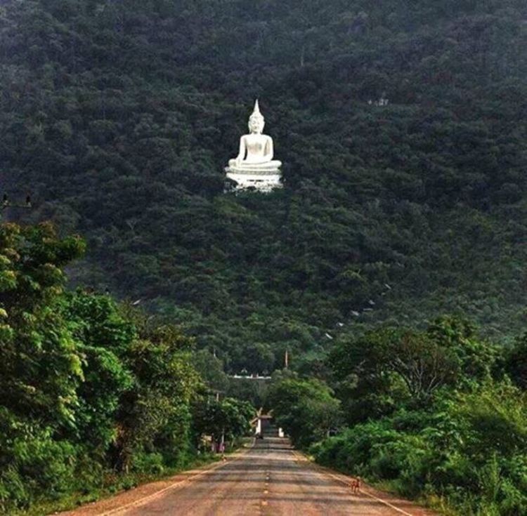
Pak chong thailand
Pak Chong (Thai: ปากช่อง) is the westernmost district (amphoe) of Nakhon Ratchasima Province, northeastern Thailand.
Contents
- Pak chong thailand
- Map of Pak Chong District Nakhon Ratchasima Thailand
- History
- Etymology
- Geography
- Transport
- Railway
- Central administration
- Local administration
- References
Map of Pak Chong District, Nakhon Ratchasima, Thailand
History
In the past this area was a part of Tambon Khanong Phra, Chan Thuek District (which is now Sikhio District).
In 1949 Ban Pak Chong was upgraded to Tambon Pak Chong. It was upgraded to a minor district (king amphoe) effective 1 January 1957, consisting of the four sub-districts Pak Chong, Chanthuek, Klong Dan, and Mu Si. It was upgraded to a full district in July 1958.
Etymology
In the reign of King Chulalongkorn (Rama V) during the construction of the northeastern railway through the area, the Nok Yung and Noi mountains were blasted through to make a cut (chong in Thai) for the railway. The people named the village Pak Chong, meaning "mouth of the channel".
Geography
Pak Chong is the biggest district of Nakhon Ratchasima by area. Neighboring districts are (from the north clockwise) Sikhio, Wang Nam Khiao of Nakhon Ratchasima, Mueang Nakhon Nayok of Nakhon Nayok Province, Prachantakham of Prachinburi Province, and Muak Lek of Saraburi Province.
The district is the gateway to the northeast (Isan) of Thailand from the central region, as the main pass through the Sankamphaeng Range mountainous area is in the southern section of the district. The southern parts of the district are part of Thailand's first and largest national park, Khao Yai. Within the park is the origin of the Takhong River, a tributary of the Mun River. The Takhong is the main water resource of Nakhon Ratchasima city.
Transport
Both the Mittraphap Road or Route 2 as well as the Northeastern railway cross the district.
Railway
Some long-distance trains from Bangkok to Udon Thani or Nong Khai and all trains to Ubon Ratchathani stop at Pak Chong railway station, as well as the local trains connecting Kaeng Khoi Junction (east of Saraburi) with Nakhon Ratchasima and beyond.
Central administration
The district Pak Chong is divided into 12 sub-districts (tambon), which are further subdivided into 219 administrative villages (muban).
Local administration
There is one town (Thesaban Mueang) in the district:
There are four sub-district municipalities (Thesaban Tambon) in the district:
There are nine sub-district administrative organizations (SAO) in the district: