
 | ||
Similar Hatfield–McCoy Trails , Bryce Canyon National Park , Fremont Indian State Park and Museum | ||
Paiute atv trail 50 and 60 inch gates
The Paiute ATV Trail is a public all-terrain vehicle trail system that is located in Central Utah. It is managed by the Fishlake National Forest and the Richfield District of the Bureau of Land Management.
Contents
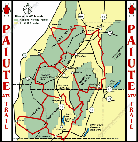
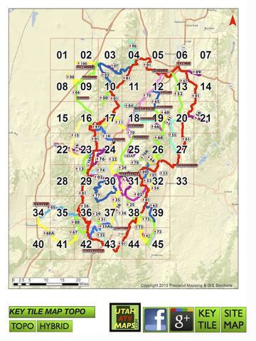
The Paiute Trail has over 2000 miles of primary and designated side trails. The main loop of the trail is approximately 240 miles long and covers four counties, Piute County, Beaver County, Sevier County, and Millard County in Utah.
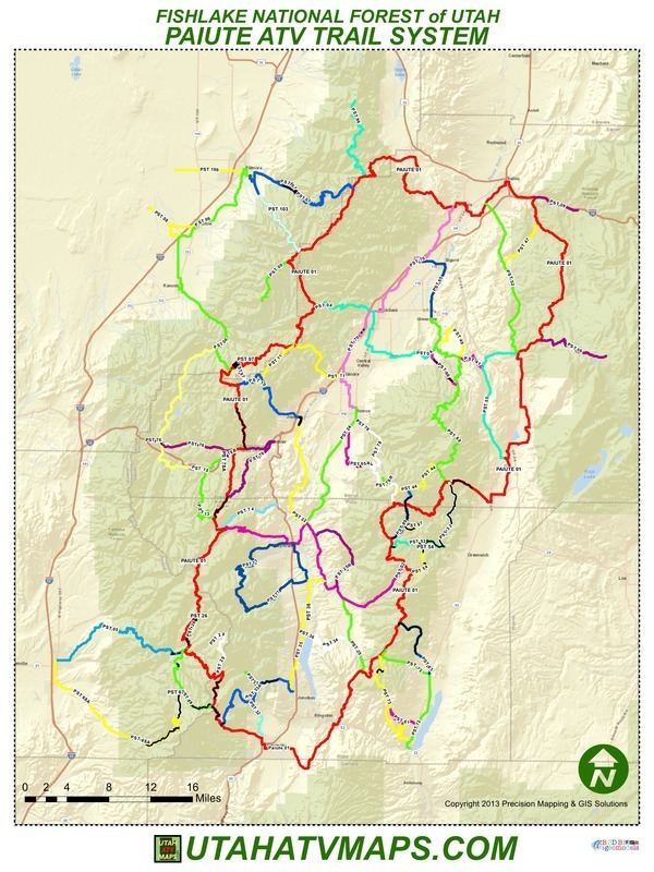
The Paiute Trail has trail heads in Marysvale, Circleville, Junction, Koosharem, Antimony, Angle, Monroe, Richfield, Joseph, Aurora, Salina, Annabella, Elsinore, Fillmore, and Kanosh. Most of these communities allow riding on the streets; the State of Utah now allows street-legal vehicles to run on the highway. The Paiute Trail also has trail heads at the Fremont Indian State Park and Museum.
The Paiute ATV Trail Committee, a non-profit organization consisting of government, city, Sheriff, business owners and local citizens, aids in fund raising and management of the trail system.
Exploring the Paiute ATV Trail
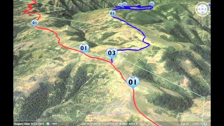
The Paiute Trail system was formed by connecting old roads and trails crossing the Fishlake National Forest with intervening BLM-administered land. Sections of trail were constructed to complete the interconnecting #01 loop. The main #01 trail is 238 miles long, with over 2000 miles of marked side trails and forest roads that are open to ATVs and other recreational vehicles. Much of the Paiute Trail is open to SidexSide Vehicles greater than 50", but there are several two-track trails that are restricted to 50".
Riders may see mule deer, elk, bear, mountain goats, cougars, coyotes, sage grouse, pine hen, pheasants, rabbits, rattlesnakes, wild turkeys, badgers, beavers, hawks, eagles, owls, porcupines, and bobcats.
The main loop of the #01 trail is estimated to take approximately 25 riding hours to complete. However, riders could spend weeks traversing the side forest roads and trails.
Riding Season
Many parts of the Paiute Trail are closed seasonally. Riding typically starts in April in the lowlands with some the highest riding closed until mid-July. While spring riding is possible on the lower portions of the trail, snowdrifts usually close the trail over the Tushar Mountains, the Pavant Range and the Sevier Plateau until early July. This part of the trail remains closed until mid-to-late July.
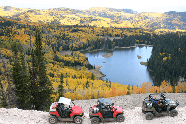
September and October provide some of the best riding weather on the Paiute Trail. At this time of year the days are brisk, the nights cool, the trees colorful, and the chance of precipitation is low. August is also a good time for the high country, although the lower portions of the trail can be hot. After October, storms may close the upper portions of the trail.
Events
The Paiute ATV Trail is home to three ATV and SideXSide Jamborees.
The Fillmore National ATV Jamboree, held each June with 14 choices of trail rides for 500 rider The National ATV Jamboree Rocky Mountain ATV Jamboree, held each September with over 70 guided trail rides and 650 riders. The Rocky Mountain ATV Jamboree The Paiute Trail UTV Jamboree held the second week of August has approximately 20 guided rides and approximately 600 riders.