Mouth elevation 0 | Length 36 km | |
 | ||
Promenade du paillon en drone coul e verte nice octobre 2013
The Paillon (Nissard Occitan: Palhon) is a coastal river of the Alpes-Maritimes that flows into the Mediterranean Sea in Nice, near the old district. Its source is north of Lucéram. It flows generally south, through L'Escarène, Peillon, Drap (where it meets its main tributary Paillon de Contes), La Trinité, and finally Nice.
Contents
- Promenade du paillon en drone coul e verte nice octobre 2013
- Map of Paillon France
- Inauguration de la promenade du paillon
- References
Map of Paillon, France
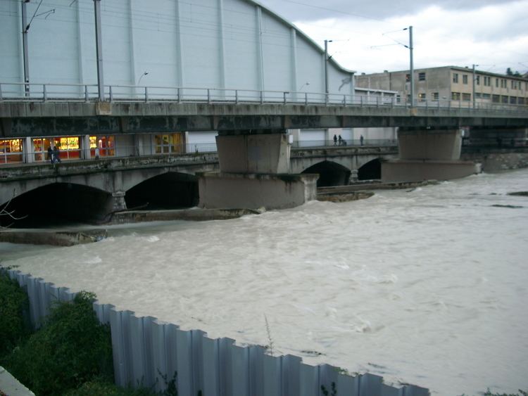
The region of the Paillon and the Paillon de Contes is called the pays des Paillons. The river is covered in its last few kilometers in the city of Nice, with the Guillaume Apollinaire High School and the Palais des Congrès Acropolis over the river.
It is a typical Mediterranean river, with low water level throughout the year and violent floods during autumn and sometimes during spring.
Inauguration de la promenade du paillon
References
Paillon Wikipedia(Text) CC BY-SA
