
Country Brazil State Paraná Local time Monday 5:48 PM | Time zone BRT/BRST (UTC-3/-2) | |
 | ||
Weather 27°C, Wind SE at 11 km/h, 54% Humidity | ||
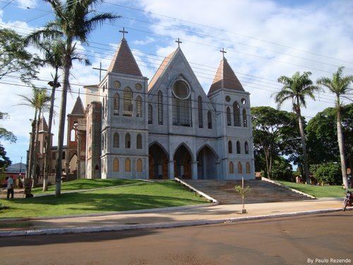
Paiçandu is a city in the state of Paraná in southern Brazil. Paiçandu was founded in 1948, and emancipated on 19 November 1960. Its population was 39,291 (2015) and its area is 171.4 km².
Contents
- Map of PaiC3A7andu ParanC3A1 Brazil
- Geography
- Climate
- Participation in the Municipal GIP
- Primary crops
- Primary industries
- References
Map of Pai%C3%A7andu, Paran%C3%A1, Brazil
Geography
Climate
Paiçandu's subtropical climate offers hot summers and concentrated wet seasons; Paiçandu has no dry season. The average high temperature is 22 °C. Frost rarely accompanies the winter weather (the average low temperature is 18 °C).
Participation in the Municipal GIP
Number of inhabitants who are actively employed: 14,597
Primary crops
Primary industries
References
Paiçandu Wikipedia(Text) CC BY-SA