PIN 203396 Population 20,672 (2011) | Time zone IST (UTC+5:30) Elevation 187 m Local time Monday 11:30 PM | |
 | ||
Weather 21°C, Wind W at 6 km/h, 47% Humidity | ||
Pahasu is a town and a nagar panchayat in Bulandshahr district in the Indian state of Uttar Pradesh.
Contents
- Map of Pahasu Uttar Pradesh 203396
- Geography
- History
- Nawabs of Pahasu
- Demographics
- Notable persons
- References
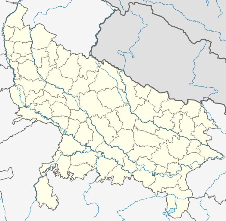
Map of Pahasu, Uttar Pradesh 203396
Geography
Pahasu is located at 28.18°N 78.05°E / 28.18; 78.05. It has an average elevation of 187 metres (613 feet).
History
"Pahasu" was a jagir during British India owned by Nawabs belonging to Lalkhani Badgujar, Muslim Rajput community."Pahasu" is a large Muslim feudals of Aligarh (UP)."Pahasu" in British India was represented by Old and young party in UP legislative council from years 1909 to 1919.
Nawabs of Pahasu
Demographics
As of 2001 India census, Pahasu had a population of 17,116. Males constitute 53% of the population and females 47%. Pahasu has an average literacy rate of 48%, lower than the national average of 59.5%: male literacy is 57%, and female literacy is 38%. In Pahasu, 17% of the population is under 6 years of age.
