
Area 8.44 km² | Time zone BST (UTC+6) | |
 | ||
Website bangladesh.gov.bd/maps/images/chittagong/PahartaliT.gif | ||
Pahartali (Bengali: পাহাড়তলী) is a Thana of metropolitan Chittagong in the Division of Chittagong, Bangladesh.
Contents
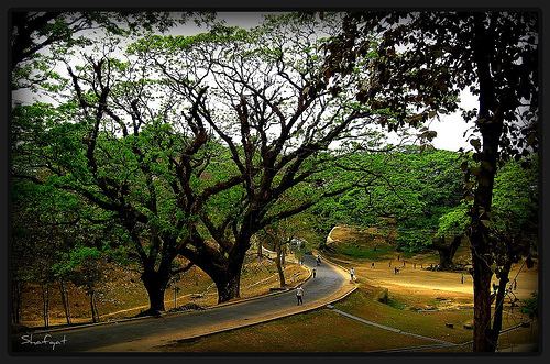
Map of Pahartali, Chittagong, Bangladesh
Geography
Pahartali is located at 22.3667°N 91.7750°E / 22.3667; 91.7750. It has a total area 8.44 km². "Foy's lake" a very beautiful place is situated in this Thana. it is famous for tourism.
Demographics
At the 1991 Bangladesh census, Pahartali had a population of 198,894, of whom 109,571 were aged 18 or older. Males constituted 57.45% of the population, and females 42.55%. Pahartali had an average literacy rate of 54% (7+ years), against the national average of 32.4%.
References
Pahartali Thana Wikipedia(Text) CC BY-SA