
Country São Tomé and Príncipe Seat Santo António Time zone UTC (UTC+0) Population 7,542 (2012) | Province/Island Príncipe Highest elevation 948 m (3,110 ft) Area 136 km² | |
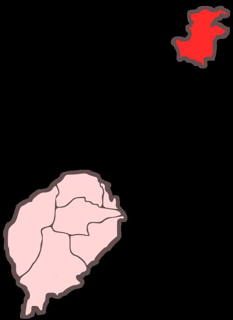 | ||
Pagué is the single district of Príncipe Province. Out of the seven districts that make up the equatorial Atlantic islands of São Tomé and Príncipe, its population is one of the smallest: 7,542 (2012). Its capital, Santo António, is also the provincial capital of Príncipe. This district as well as the province includes several small islands around the island of Príncipe. The Obo National Park covers the southern part of the island and since 2012, Island of Príncipe Biosphere Reserve which covers the area of parts of the island and the islets.
Contents
Map of Pague, S%C3%A3o Tom%C3%A9 and Pr%C3%ADncipe
Population
Settlements
The main settlement is the town Santo António. Other settlements are:
Persons
References
Pagué District Wikipedia(Text) CC BY-SA