
Vehicle registration VO Elevation 1,116 m Local time Monday 12:59 PM Postal code 8583 | Time zone CET (UTC+1) Website www.pack.steiermark.at Area 39.06 km² Population 436 (1 Apr 2009) Area code 03146 | |
 | ||
Weather 12°C, Wind E at 11 km/h, 50% Humidity | ||
Pack is a former municipality in the district of Voitsberg in the Austrian state of Styria. Since the 2015 Styria municipal structural reform, it is part of the municipality Hirschegg-Pack.
Contents
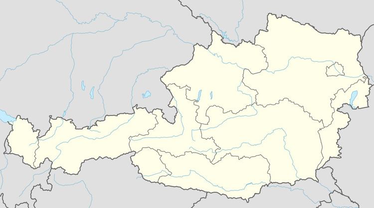
Map of Pack, Austria
Geography
Pack liest west of Graz near Pack Pass on the border between Styria and Carinthia.
References
Pack, Styria Wikipedia(Text) CC BY-SA