
Area 443.9 km² | Time zone BST (UTC+6) | |
 | ||
Website Sadar.gif Official Map of Pabna Sadar | ||
Pabna Sadar (Bengali: পাবনা সদর) is an Upazila of Pabna District in the Division of Rajshahi, Bangladesh.
Contents
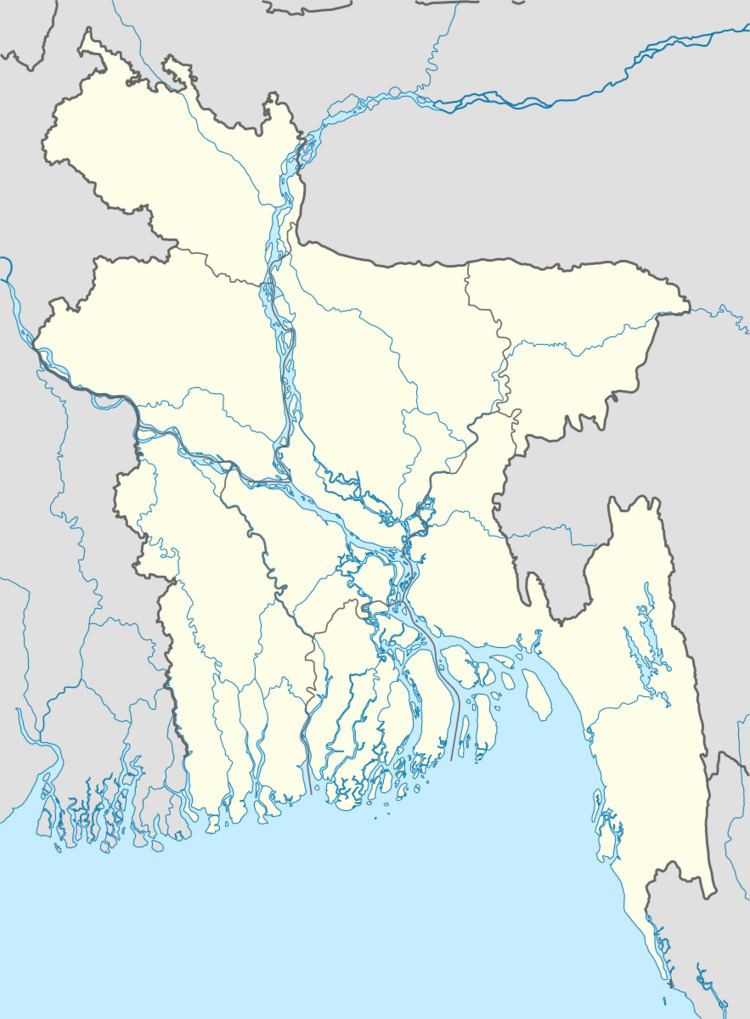
Map of Pabna Sadar Upazila, Bangladesh
Geography
Pabna Sadar is located at 24.0042°N 89.2500°E / 24.0042; 89.2500 . It has 74517 households and total area 443.9 km².
Demographics
According to the 1991 Bangladesh census, Pabna Sadar had a population of 431,513, of whom 215,133 were aged 18 or over. Males constituted 51.76% of the population, and females 48.24%. Pabna Sadar had an average literacy rate of 29.1% (7+ years), against the national average of 32.4%.
Administration
Pabna Sadar has 10 Unions, 10 Pourasava, 291 Mauzas/Mahallas, and 277 villages.
Chairman: Mosharrof Hossain
Vice Chairman:
Woman Vice Chairman:
Upazila Nirbahi Officer (UNO): Salma Khatun [1]
References
Pabna Sadar Upazila Wikipedia(Text) CC BY-SA