
Car plates EPA | Area 490.8 km² | |
 | ||
Gminas Total 7 (incl. 2 urban)Konstantynów ŁódzkiPabianiceGmina DłutówGmina DobrońGmina KsawerówGmina LutomierskGmina Pabianice Points of interest Muzeum Miasta Pabianic, Sala Zabaw Ciuchcia, Ceramilandia ‑ Kraina nauki - za, Dwór Kapituły Krakowskiej, Duża Woda | ||
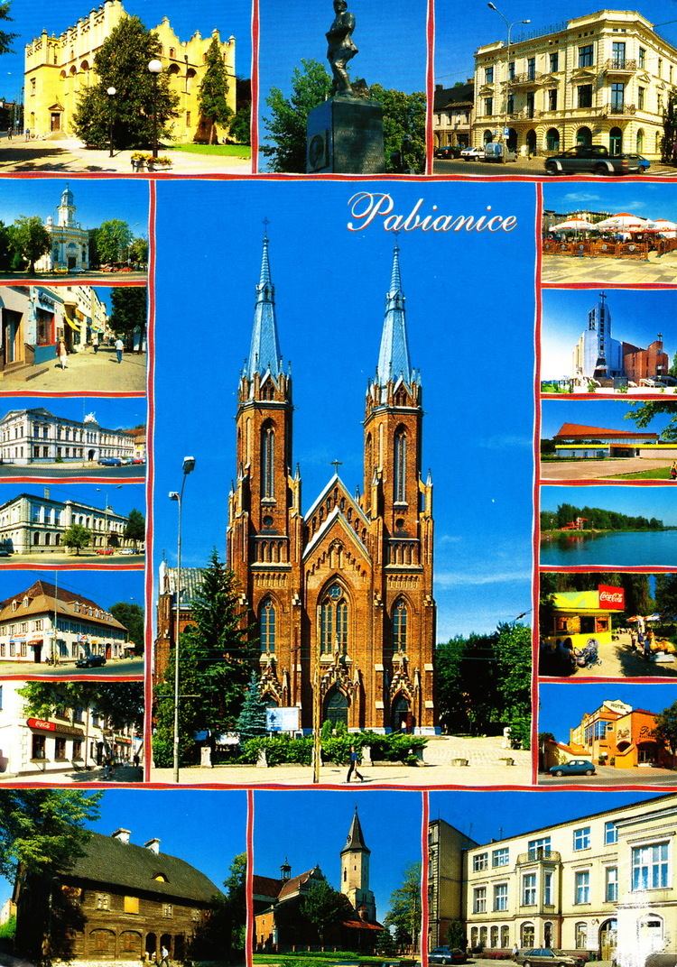
Pabianice County (Polish: powiat pabianicki) is a unit of territorial administration and local government (powiat) in Łódź Voivodeship, central Poland. It came into being on January 1, 1999, as a result of the Polish local government reforms passed in 1998. Its administrative seat and largest town is Pabianice, which lies 16 kilometres (10 mi) south of the regional capital Łódź. The only other town in the county is Konstantynów Łódzki, lying 12 km (7 mi) north of Pabianice.
Contents
Map of Pabianice County, Poland
The county covers an area of 490.77 square kilometres (189.5 sq mi). As of 2006 its total population is 119,008, out of which the population of Pabianice is 70,445, that of Konstantynów Łódzki is 17,564, and the rural population is 30,999.
Neighbouring counties
Pabianice County is bordered by Zgierz County to the north, the city of Łódź and Łódź East County to the east, Piotrków County to the south-east, Bełchatów County to the south, Łask County to the west, and Poddębice County to the north-west.
Administrative division
The county is subdivided into seven gminas (two urban and five rural). These are listed in the following table, in descending order of population.