
Country Mexico Population 46,473 (2015) | Area 199.7 km² | |
 | ||
University Instituto Tecnológico de Pabellón de Arteaga | ||
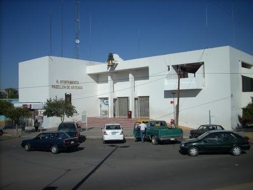
Pabellón de Arteaga is municipality in the Mexican state of Aguascalientes. It stands at 22°09′N 102°16′W in the central part of the state. The city of Pabellón de Arteaga (2010 population: 28,633) serves as its municipal seat. The municipality had a population of 41,862 and an area of 199.33 km² (76.97 sq mi). Its largest other town is named Emiliano Zapata.
Contents
Map of Pabell%C3%B3n de Arteaga, Aguascalientes, Mexico
Demographics
As of 2010, the municipality had a total population of 41,862.
As of 2010, the city of Pabellón de Arteaga had a population of 28,633. Other than the city of Pabellón de Arteaga, the municipality had 300 localities, the largest of which (with 2010 populations in parentheses) were: Emiliano Zapata (2,995), classified as urban, and Las Ánimas (1,794), Santa Isabel (1,065), Santiago (1,020), and San Luis de Letras (1,018), classified as rural.