Elevation 1,158 m Administrative division Marudi | Local time Monday 1:07 PM | |
 | ||
Weather 24°C, Wind NW at 6 km/h, 73% Humidity | ||
Pa Dali (also called Pa Dalih) is a Kelabit settlement in the Marudi division of Sarawak, Malaysia. It lies approximately 619.9 kilometres (385 mi) east-north-east of the state capital Kuching, in the Kelabit Highlands.
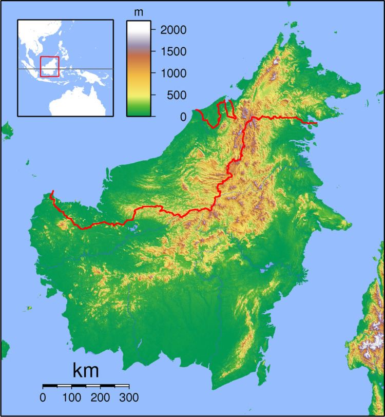
Map of Pa Dali, Sarawak, Malaysia
It lies on the so-called Bario loop, the most popular 3-day trek in the Bario area, which passes through the Kelabit villages of Pa Dalih, Pa Ramadu and Pa Mada, and is described as a friendly and hospitable village.
It was reported in 1974 that an ancient burial ground with stone urns, slab graves and porcelain urns was found at about 3300 feet near Pa Dali. At the time, the village was uninhabited following its evacuation during the Indonesia–Malaysia confrontation of 1962–1966.
Neighbouring settlements include:
References
Pa Dali Wikipedia(Text) CC BY-SA
