
Country Thailand Time zone ICT (UTC+7) Geocode 5706 Population 26,628 (2005) | Seat Pa Daet Postal code 57190 Area 333.3 km² Province Chiang Rai Province | |
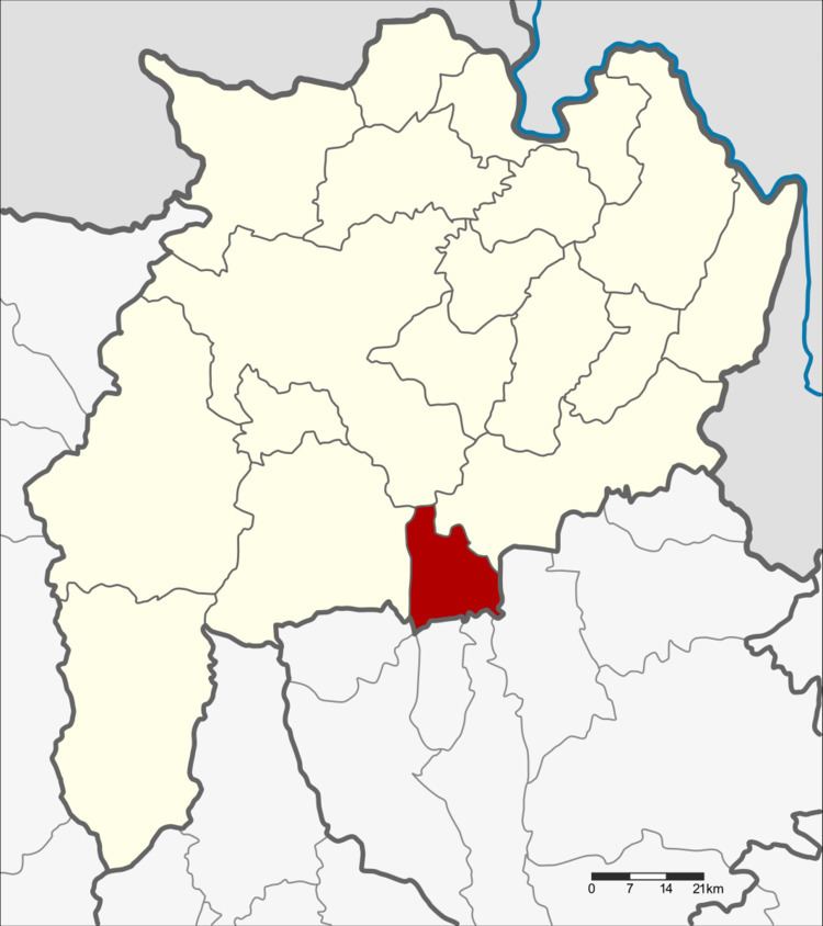 | ||
Pa Daet (Thai: ป่าแดด; [pàː dɛ̀ːt]) is a district (amphoe) in the southern part of Chiang Rai Province, northern Thailand.
Contents
Map of Pa Daet District, Chiang Rai, Thailand
History
The area of Pa Daet was originally dense forest of the Phan District. People from other places went there to hunt animals and settle new villages. It was created as the minor district (king amphoe) Pa Daet on 1 June 1969, consisting of the single tambon, Pa Daet. The minor district was upgraded to a full district on 21 August 1975.
Geography
Neighboring districts are (from the west clockwise) Phan, Mueang Chiang Rai, and Thoeng of Chiang Rai Province, Chun, Dok Khamtai, Phu Kamyao, Mueang Phayao and Mae Chai of Phayao Province.
The Phi Pan Nam Mountains dominate the landscape of the district. The important water resource is the Ing River.
Administration
The district is divided into five sub-districts (tambon), which are further subdivided into 58 villages (muban). There are two townships (thesaban tambon). Pa Daet covers parts of tambon Pa Daet, and Pa Ngae the whole tambon Pa Ngae. There are a further five tambon administrative organizations (TAO).
Geocode 4 is not used.