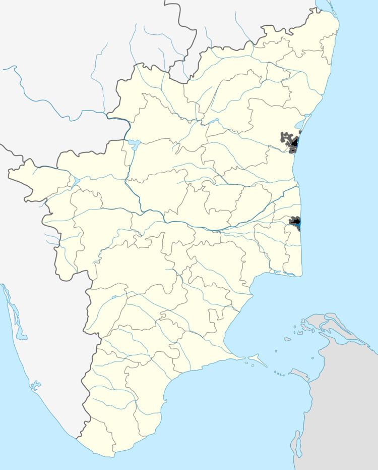
Country India District Virudhunagar Local time Wednesday 10:29 AM | State Tamil Nadu Time zone IST (UTC+5:30) Population 2,266 (2001) | |
 | ||
Weather 32°C, Wind E at 8 km/h, 49% Humidity | ||
P.Ramachandrapuram is a panchayat Village in Virudhunagar district in the Indian state of Tamil Nadu. P.Ramachandrapuram is also called as Chennelkulam. This village is under the control of Srivilliputhur Block.
Contents
- Map of P Ramachandrapuram Tamil Nadu 626137
- Geography
- Schools
- Notable personalities
- Nearest towns
- References
Map of P. Ramachandrapuram, Tamil Nadu 626137
P.Ramachandrapuram moved to Srivilliputhur (State Assembly Constituency) & Tenkasi (Lok Sabha constituency) after 2009.
Geography
P.Ramachandrapuram is located at 9.4398859°N 77.6403808°E / 9.4398859; 77.6403808. It is located next to Chatrapatti.
Schools
R. Krishnasamy Primary School.
R. Krishnasamy Govt Hr Sec School.
Notable personalities
Nearest towns
References
P.Ramachandrapuram Wikipedia(Text) CC BY-SA
