
- summer (DST) CEST (UTC+2) Area 4.38 km² | Elevation 229 m Local time Monday 6:05 AM | |
 | ||
Weather 9°C, Wind W at 14 km/h, 75% Humidity | ||
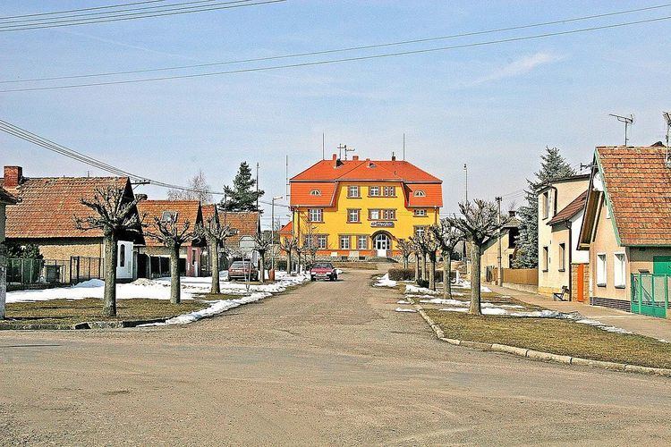
Převýšov is a village and municipality in the Czech Republic located about 4 km west of Chlumec nad Cidlinou. It is located on the D11 motorway from Prague to Hradec Králové. It has about 330 inhabitants living in 130 houses and 5 blocks of flats. Its area comprises about 430 ha.
Contents
Map of 503 51 P%C5%99ev%C3%BD%C5%A1ov, Czechia
History
The first written reference dates back to 1386, to the period of Wenceslas IV's reign. At that time there was a stronghold near the Cidlina river. It was placed near to the source of water in a valley between a wood, and a hill called “Vinice”. Převýšov came under the rule of Chlumec nad Cidlinou. The propriety had many masters, the most known are, for example, the dynasty of Kinsky or Pernštejn. In the 19th century the railway was constructed which was a huge asset for this area.
Places of interest
In this small village there are some historical sights. One of those things is a belfry with a cross and the statuette of Virgin Mary located in a little square. The second place of interest is a 300-year-old oak. The tree stands in the nearby wood, its circumference is 565 cm and its height is 25 m. There is also a local cemetery where many young men who served in World War II were buried.
Cultural life
There are two balls held in this village every year. The local football team SK Převýšov rose to national attention in 2011 after defeating Slavia Prague 3-0 in a cup tie.