
Elevation 498 m Local time Monday 6:14 AM | Postal code 539 44 Area 3.81 km² | |
 | ||
Weather 8°C, Wind W at 23 km/h, 80% Humidity | ||
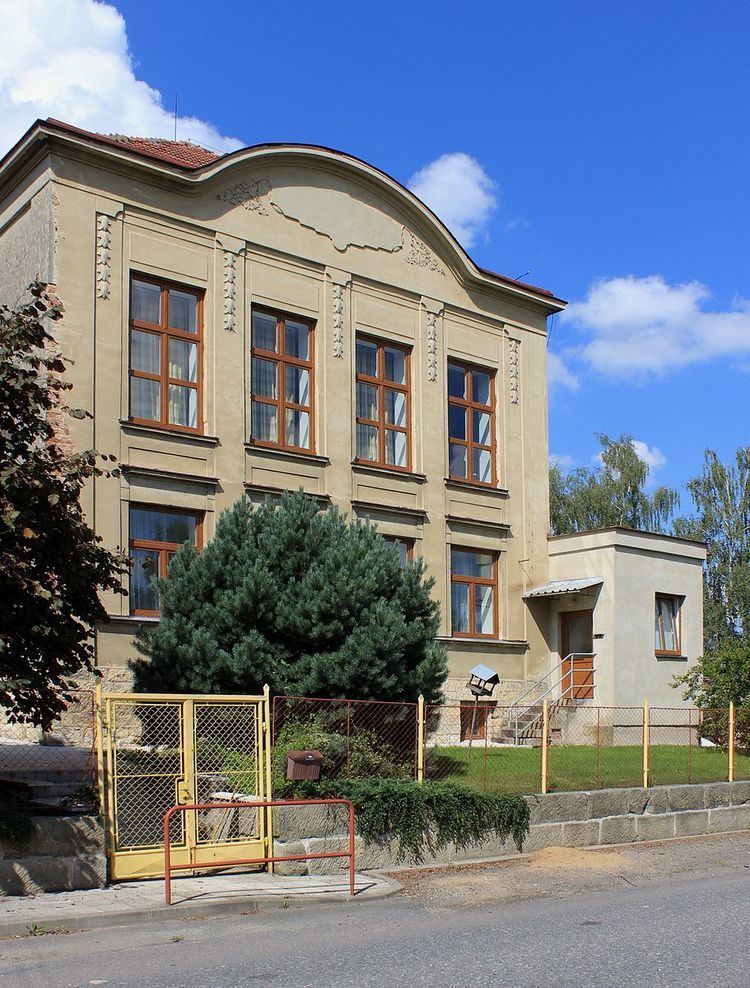
Příluka is a village and municipality (obec) in Svitavy District in the Pardubice Region of the Czech Republic.
Map of 539 44 P%C5%99%C3%ADluka, Czechia
The municipality covers an area of 3.81 square kilometres (1.47 sq mi), and has a population of 162 (as at 2 October 2006).
Příluka lies approximately 26 kilometres (16 mi) north-west of Svitavy, 34 km (21 mi) south-east of Pardubice, and 127 km (79 mi) east of Prague.
References
Příluka Wikipedia(Text) CC BY-SA