
Elevation 742 m (2,434 ft) Postal code 37xxx Area 513 km² Area code 366 | Region Black Sea Time zone EET (UTC+2) Licence plate 37 Local time Monday 7:16 AM | |
 | ||
Weather 1°C, Wind NW at 11 km/h, 95% Humidity | ||
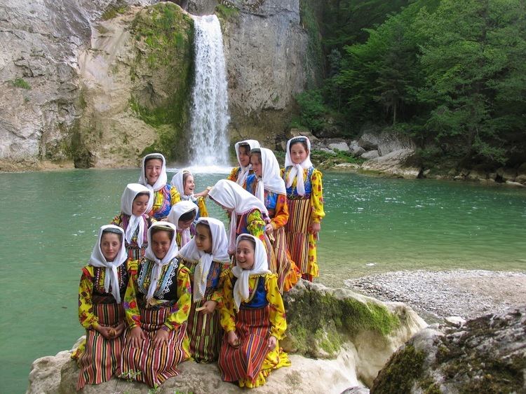
Pınarbaşı, formerly Tekkeşin, is a town and district of the Kastamonu Province in the Black Sea region of Turkey. According to the 2000 census, population of the district is 5,978 of which 2,270 live in the town of Pınarbaşı. The district covers an area of 513 km2 (198 sq mi), and the town lies at an elevation of 742 m (2,434 ft).
Map of P%C4%B1narba%C5%9F%C4%B1%2FKastamonu, Turkey
References
Pınarbaşı, Kastamonu Wikipedia(Text) CC BY-SA