
Area 80.45 km² Local time Monday 5:53 AM | Time zone EET (UTC+2) Population 8,290 (2002) | |
 | ||
Weather 2°C, Wind NW at 6 km/h, 80% Humidity | ||
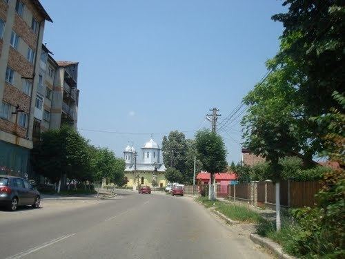
Pătârlagele (also spelled Pătîrlagele; [pətɨrˈlad͡ʒele]) is a town in Buzău County, Romania. In 2002 it had a population of 8,414.
Contents
Map of P%C4%83t%C3%A2rlagele 127430, Romania
Geography
Pătârlagele is located in the western part of the county, along the national road connecting Buzău and Braşov. It lies in the Pătârlagele hollow, between the Carpathian Mountains and the Subcarpathian Hills.
The town administers fourteen villages: Calea Chiojdului, Crâng, Fundăturile, Gornet, Lunca, Mănăstirea, Mărunțișu, Mușcel, Poienile, Sibiciu de Sus, Stroești, Valea Lupului, Valea Sibiciului and Valea Viei.
Neighbours
History
The first evidence of the existence of the Pătârlagele commune dates back from 1524-1527 [1], but it probably existed before the establishment of the medieval state of Wallachia.
The name Pătârlagele comes from the German form of the name Peter (in Romanian, Petre or Petru), and the German word lager, meaning camp. The German origin of the name can only be explained by the presence of the Teutonic knights on the other side of the Carpathians, in Ţara Bârsei, during the years 1211-1225 and their conquest of the Buzău Mountains, where they raised fortifications against the Cumans.
Pătârlagele Commune received town rights in 2004. [2]