
Country United States GNIS feature ID 363109 Zip code 96780 | State Hawaii ZIP codes 96780 Elevation 3 m Local time Sunday 5:33 PM | |
 | ||
Time zone Hawaii-Aleutian (HAST) (UTC-10) Weather 23°C, Wind NE at 19 km/h, 92% Humidity | ||
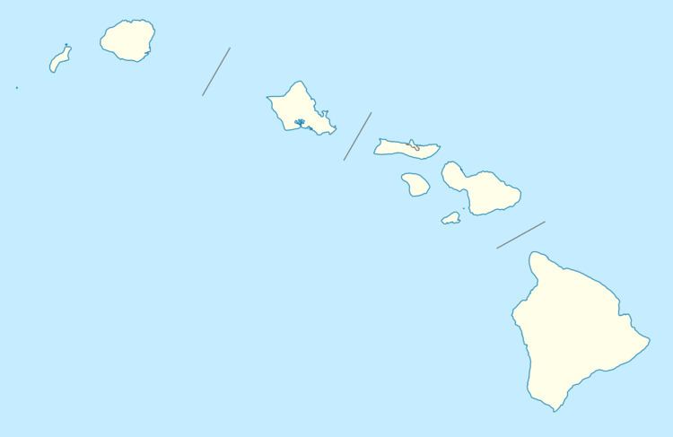
Papaʻaloa (also spelled Papaaloa) is an unincorporated community on the island of Hawaii in Hawaii County, Hawaii, United States. It lies along Hawaii Route 19 north of Hilo, the county seat of Hawaii County. Its elevation is 10 feet (3 m) Because the community has borne multiple names, the Board on Geographic Names officially designated it "Papaaloa" in 1914 and 1954 before assigning the current name in 2001. Although it is unincorporated, it has a post office, with the ZIP code of 96780.
Map of P%C4%81pa%E2%80%98Aloa, HI 96780, USA
References
Pāpaʻaloa, Hawaii Wikipedia(Text) CC BY-SA