Time zone CET (UTC+1) Area 2.78 km² Local time Monday 2:40 AM | Region Île-de-France Intercommunality Plateau Briard INSEE/Postal code 94056 / Population 2,232 (2007) | |
 | ||
Weather 11°C, Wind SW at 10 km/h, 78% Humidity | ||
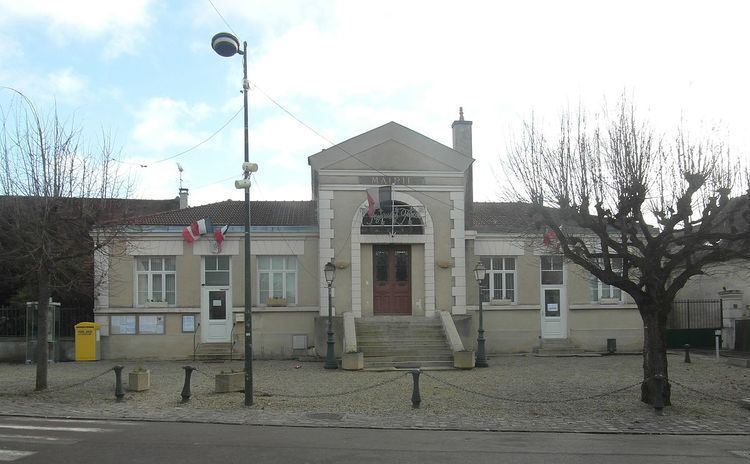
Périgny, also known as Périgny-sur-Yerres, is a commune in the southeastern suburbs of Paris, France. It is located 23.3 km (14.5 mi) from the center of Paris.
Contents
Map of 94520 P%C3%A9rigny, France
Transport
Périgny is served by no station of the Paris Métro, RER, or suburban rail network. The closest station to Périgny is Boussy-Saint-Antoine station on Paris RER line D. This station is located in the neighboring commune of Boussy-Saint-Antoine, 2.1 km (1.3 mi) from the town center of Périgny.
Education
Schools in the commune include Ecole maternelle Suzanne Heinrich (preschool/nursery) and Ecole élémentaire Georges Hure. Junior high school students are assigned to Collège Simone Veil in Mandres-les-Roses. Senior high school/sixth-form students may attend Lycée Guillaume Budé in Limeil-Brévannes and Lycée Christophe Colomb in Sucy-en-Brie.
