
PIN 6XXXXX Population 29,836 (2001) | Time zone IST (UTC+5:30) Vehicle registration KL- | |
 | ||
Ozhur panchayath udf rally 2011
Ozhur is a village in the Malappuram district of the state of Kerala, India. The village was a part of the Kingdom of Tanur (Vettattnad) in medieval times.
Contents
- Ozhur panchayath udf rally 2011
- Map of Ozhur Kerala
- Cpphmhs ozhur 2012 to2013
- Demographics
- Transportation
- References
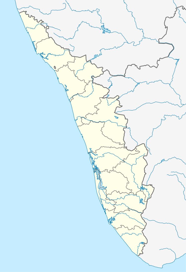
Map of Ozhur, Kerala
Cpphmhs ozhur 2012 to2013
Demographics
As of the 2001 India census, Ozhur had a population of 29,836 with 14,114 males and 15,722 females. The Entire village consists of the entire panchayat by the same name Ozhur Panchayat. It consists of 14 wards . Korad is the third ward of this panchayat. Korad is a very beautiful skirt of Ozhur and perhaps the most backward place of Ozhur.
Transportation
Ozhur village connects to other parts of India through Tirur town. National highway No.66 passes through Tirur and the northern stretch connects to Goa and Mumbai. The southern stretch connects to Cochin and Trivandrum. Highway No.966 goes to Palakkad and Coimbatore. The nearest airport is at Kozhikode. The nearest major railway station is at Tirur.