
Canton Audruicq Population 5,882 (1999) | Arrondissement Saint-Omer Area 33.86 km² Local time Wednesday 2:50 AM | |
 | ||
Intercommunality Communauté de communes de la Région d'Audruicq Weather 11°C, Wind SW at 19 km/h, 82% Humidity | ||
Oye-Plage is a commune in the Pas-de-Calais department in the Hauts-de-France region of France.
Contents
Map of 62215 Oye-Plage, France
Geography
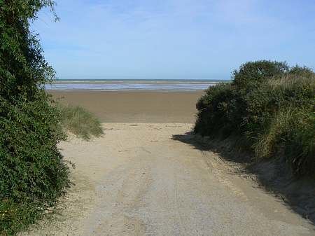
Oye-Plage lies about 7 miles (11 km) east of Calais, on the junction of the D219 and the D940. The commune is nearly a mile from the English Channel.
History
The commune has ancient origins. The name is first recorded as Ogia in the 8th century, which means 'island' ( Protogermanic *aujō), was used for those islands that survived high tides.
The Vikings landed here in 879 with the aim of invading Moriny.
In the county of Boulogne until 1259, Oye belonged to the counts of Artois until 1346, the English until 1558 and to the Kings of France since that date, under the name of Oye county.
It was at Oye chateau that a peace treaty was signed on July 6, 1439 between France and England. There is nothing left of the castle and adjacent forts which were tasked to block the road against first the Flemish and then the Spanish.
The only witness to the past, the church tower, restored in 1953, was built by the English in 1553 under the reign of Mary I of England. In the church, dedicated to Saint-Médard, were buried many English killed during the siege of Calais in 1346, and the dead of the French army killed while taking Calais at the Battle of Gravelines (1558).
The port gradually silted-up and was finally closed in the eighteenth century.
On 27 September 1992 the town of Oye-Plage was twinned with the small English village of Capel-le-Ferne. A partnership which remains to this day. http://oye-plage.fr/sepanouir/jumelage/