
Primary inflows Basin countries Canada Settlements Oxford House Surface elevation 186 m | Primary outflows Hayes River Surface area 401 km (155 sq mi) Area 401 km² Inflow source Hayes River | |
 | ||
Islands Carghill Island and numerous others | ||
Oxford Lake is a lake on the Hayes River in Manitoba, Canada. The lake is 401 km2 (155 sq mi) in size and sits at a surface elevation of 186 m (610 ft).
Contents
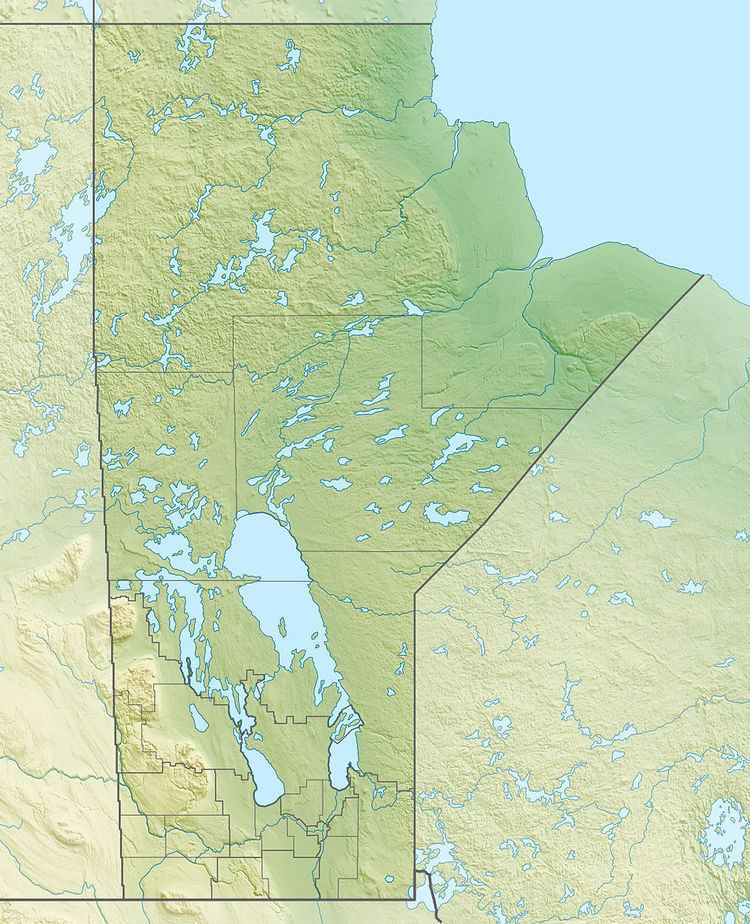
Map of Oxford Lake, Manitoba, Canada
Description
It is vaguely man-shaped, with a 'head' on the east, a 'neck', a northwest-southeast shoulder line and a 'torso' that tapers to a point in the west. The head is about 7 by 5 miles, the neck one mile across and the shoulder line 11 miles. The south side of the torso is 25 miles and its northwest side 18 miles. On the northwest is a large island (Carghill Island) or peninsula that fills much of the torso. The Hayes Rivers enters from the southwest and exits from the 'head' southeast below the town and airport of Oxford House, Manitoba. The Carrot River enters on the northwest and allows a portage to Cross Lake, Manitoba on the Nelson River. Downstream is Knee Lake.