
Country United States FIPS code 23-56205 Elevation 207 m Zip code 04764 Area code 207 | Time zone Eastern (EST) (UTC-5) GNIS feature ID 0582657 Population 66 (2010) Local time Tuesday 4:47 PM | |
 | ||
Weather 0°C, Wind SE at 10 km/h, 90% Humidity Area 99.2 km² (97.9 km² Land / 129 ha Water) | ||
Oxbow is a plantation in Aroostook County, Maine, United States. The population was 66 at the 2010 census. As of 2016, the population was estimated to be 50.
Contents
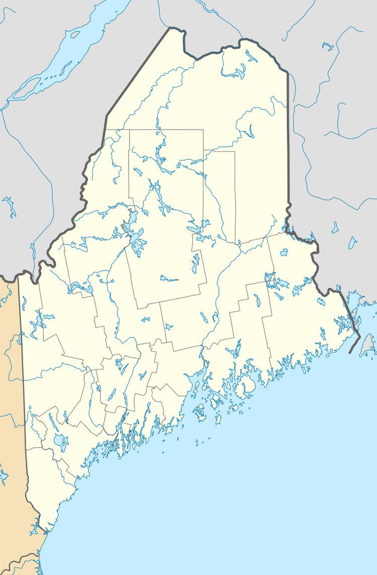
Map of Oxbow, ME 04764, USA
History
Oxbow was first settled in 1842 by Elias and Samuel Hayden, who had previously resided in Somerset County, Maine. More settlers came to set up farms and mills, which spurred residents to incorporate as Oxbow Plantation in 1870. In 1994, an attempt to deorganize was defeated by a vote of 21-9. In November 2015, Oxbow residents voted unanimously to deorganize, which was largely driven by a need to lower property tax rates. In March 2016, a panel of the Maine Legislature voted to accept the town's attempt to deorganize. In November 2016, town residents voted 38-1 to move forward with deorganization. In order to do so, Oxbow must liquidate the town's property including a boat launch on the Aroostook River and a community center.
Geography
According to the United States Census Bureau, the plantation has a total area of 38.3 square miles (99.1 km2), of which 37.8 square miles (97.9 km2) is land and 0.46 square miles (1.2 km2), or 1.22%, is water.
Demographics
As of the census of 2000, there were 56 people, 29 households, and 20 families residing in the plantation. The population density was 1.5 people per square mile (0.6/km²). There were 83 housing units at an average density of 2.2 per square mile (0.8/km²). The racial makeup of the plantation was 100.00% White. Hispanic or Latino of any race were 1.79% of the population.
There were 29 households out of which 13.8% had children under the age of 18 living with them, 62.1% were married couples living together, 6.9% had a female householder with no husband present, and 31.0% were non-families. 24.1% of all households were made up of individuals and 20.7% had someone living alone who was 65 years of age or older. The average household size was 1.93 and the average family size was 2.20.
In the plantation the population was spread out with 8.9% under the age of 18, 5.4% from 18 to 24, 17.9% from 25 to 44, 35.7% from 45 to 64, and 32.1% who were 65 years of age or older. The median age was 52 years. For every 100 females there were 107.4 males. For every 100 females age 18 and over, there were 96.2 males.
The median income for a household in the plantation was $33,333, and the median income for a family was $35,000. Males had a median income of $37,917 versus $28,750 for females. The per capita income for the plantation was $15,247. There were 18.2% of families and 21.6% of the population living below the poverty line, including 50.0% of under eighteens and none of those over 64.