
Basin size 163 km (63 sq mi) Discharge 6.85 m³/s | Length 33 km | |
 | ||
Main source Litor Circus1,131 m (3,711 ft) Progression | ||
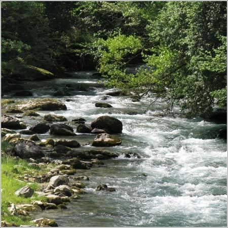
The Ouzoum or Ouzom (/ uzũ /), is a left tributary of the Gave de Pau, in the Southwest of France, between the Génie longue and the Béez.
Contents
It flows into the Gave in Nay, upstream from Pau.
Name
Historical graphies were oscillating between the voiced -s- and the unvoiced -ss-: Oson (1441), Osom, Osson, Ozon (1538), le Lozon (1581), l'Ouson (1585).
This name could be related with the Pyrenean hydronym Ousse.
Geography
The valley of the Ouzoum is separated in two distinct parts by a 9-kilometre (6 mi) long narrow pass. The villages in the upper part of the valley (Arbéost and Ferrières) belong to the Hautes-Pyrénées and have relationships with the Val d'Azun, on the other side of the mountain. On the other hand, the lower part of the valley, close to Pau, is Béarnese (Pyrénées-Atlantiques).
The Ouzoum rises at Cap d’Ouzom ("head of Ouzom") at 1,131 metres (3,711 ft) above sea level in the Litor Circus dominated by the Grand Gabizos at 2,692 metres (8,832 ft). This circus is in relation with the Val d'Azun through the Col du Soulor at 1,474 metres (4,836 ft) and with the Ossau Valley through the Aubisque Pass at 1,709 metres (5,607 ft).
After the basin of Ferrières, the Ouzoum flows through a narrow pass bordered by steep limestone slopes. The valley widens after Arthez-d'Asson.
Its hydrographic regime is pluvionival.