
Country United States County Cass Time zone Central (CST) (UTC-6) Elevation 401 m | State Minnesota ZIP code 56662 Local time Tuesday 4:41 AM | |
 | ||
Weather -3°C, Wind W at 0 km/h, 90% Humidity | ||
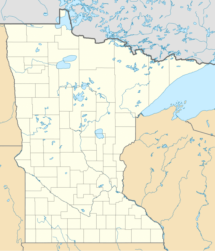
Outing is an unincorporated community in Crooked Lake Township, Cass County, Minnesota, United States, near Emily. It is situated between Roosevelt Lake and Lawrence Lake.
Map of Outing, MN 56662, USA
The community is located between Crosby and Remer near the junction of State Highway 6 (MN 6) and Cass County Road 58.
The Land O'Lakes State Forest and the Clint Converse campground on Washburn Lake are both nearby.
It is part of the Brainerd Micropolitan Statistical Area.
Local volunteers Sarah Fairbanks and Jamie Prax upgraded the storm sirens for the community of Outing in November 2007.
References
Outing, Minnesota Wikipedia(Text) CC BY-SA