
Area codes 04 Local time Tuesday 5:45 AM | Postal codes 4680-4684 Website www.oupeye.be Area code 04 Arrondissement Arrondissement of Liège | |
 | ||
Weather 7°C, Wind S at 10 km/h, 67% Humidity Governing parties Parti Socialiste, Centre démocrate humaniste | ||
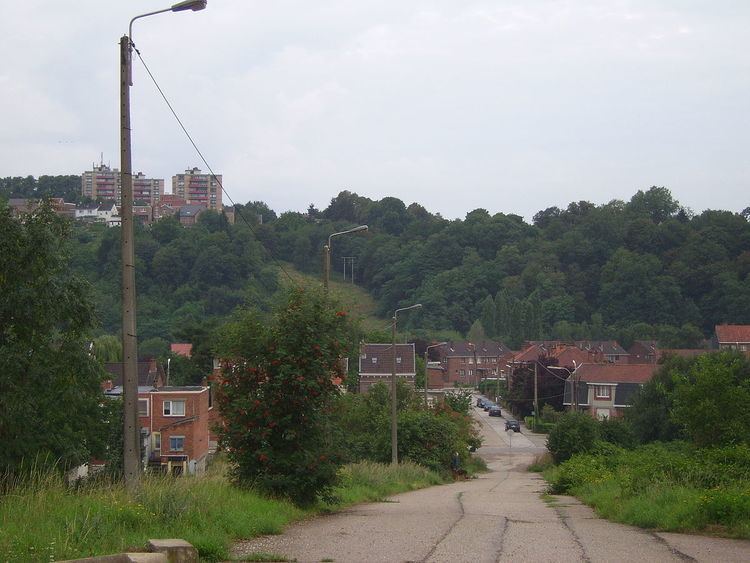
Oupeye is a Walloon municipality of Belgium in Province of Liege. On January 1, 2006, Oupeye had a total population of 23,581. The total area is 36.11 km² which gives a population density of 653 inhabitants per km².
Contents
Map of Oupeye, Belgium
The municipality consists of the following sub-municipalities: Oupeye proper, Haccourt, Hermalle-sous-Argenteau (Hermal), Hermée, Heure-le-Romain (Romaans-Heur), Houtain-Saint-Siméon, and Vivegnis.
Chertal
Chertal is a narrow isthmus approximately 1.5 km southeast of Oupeye bounded by the Albert Canal and Meuse. Since 1963 the land has been the site of a steel factory founded by Espérance-Longdoz (as of 2010 part of ArcelorMittal Liege).
References
Oupeye Wikipedia(Text) CC BY-SA