
Length 555 km Mouth elevation 0 | Discharge 117 m³/s | |
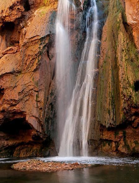 | ||
Oum Er-Rbia (Arabic: أم الربيع, "the mother of springtime"; original name in Berber: Wansifen, وانسيفن, "the one of the rivers"; Portuguese: rio Morbeia) is a large, long and high-throughput river in central Morocco.
Map of Oum Er-Rbia River, Morocco
The river is 555 km long. With an average water throughput of 105 m3/s, Oum Er-Rbia is the second-largest river in Morocco after the Sebou River. It originates in the Middle Atlas and passes through the city of Khénifra, arriving at its mouth at the Atlantic Ocean at the port of Azemmour, located on its left bank. Oum Er-Rbia has six dams, the most important of which is Al Massira Dam. Its most important tributaries are El-Abid River, Tessaoute River, and Lakhdar River.
The historical Berber nickname of the river was Asif n isaffen, meaning "the river of rivers". According to scholars, the original Berber common name of the river is Wansifen and was only changed recently, circa 16th or 17th century, and a nearby village called Oum Rabia might have influenced this change.