
OS grid reference SE54726 | Civil parish Oulston Sovereign state United Kingdom District Hambleton | |
 | ||
Population 149 (Including Thornton-on-the-Hill. 2011) Weather 4°C, Wind SE at 6 km/h, 91% Humidity | ||
Yorkshire road trip through the village of oulston driving on the left
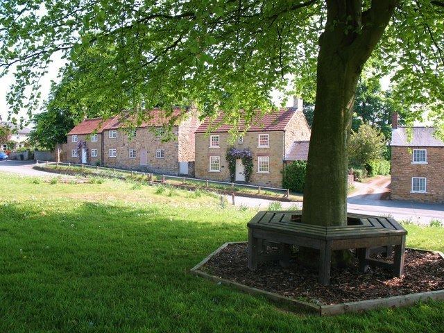
Oulston is a village and civil parish in Hambleton district of North Yorkshire, England. It lies about three miles north-east of Easingwold. Remains of a Roman villa have been found in the area. The village is within the Howardian Hills Area of Outstanding Natural Beauty
Contents
Walk 605 oulston near coxwold north yorkshire
History
The village name may be derived from the Anglian personal name of Ulf combined with tun meaning habitation.
There are the remains of a Roman villa nearby, consistent with the village's location near the junction of two old Roman roads. Articles from the site are located within the York Museum.
The village is mentioned in the Domesday Book as Uluestan and at the time of the Norman invasion, the lands were owned by Gospatric, son Arnketil. The lands were then given to the King before passing to the Fauconberg family and thence to the Wombwell family, who resided at nearby Newburgh Priory Estate.
There used to be a Wesleyan chapel in the village, which is now the village hall. It is a Grade II listed building.
There are four sites in the area that are scheduled ancient monuments. They are:
Governance
The village is part of the Thirsk and Malton UK Parliament constituency. It lies within the Stillington, North Yorkshire electoral division of North Yorkshire County Council. It also lies within the White Horse ward of Hambleton District Council.
Geography
According to the 1881 UK census, the population was 177. In the 2001 UK census the population was 102 of which 85 were over sixteen years old. Of those, 51 were in employment.
Oulston lends its name to the reservoir on the River Foss to the east of the village.
The nearest settlements to Oulston are Crayke 2.7 miles (4.3 km) to the south; Husthwaite 1.9 miles (3.1 km) to the west; Coxwold 1.6 miles (2.6 km) to the north and Yearsley 2.4 miles (3.9 km) to the east.